Los Angeles CA (SPX) Nov 05, 2024
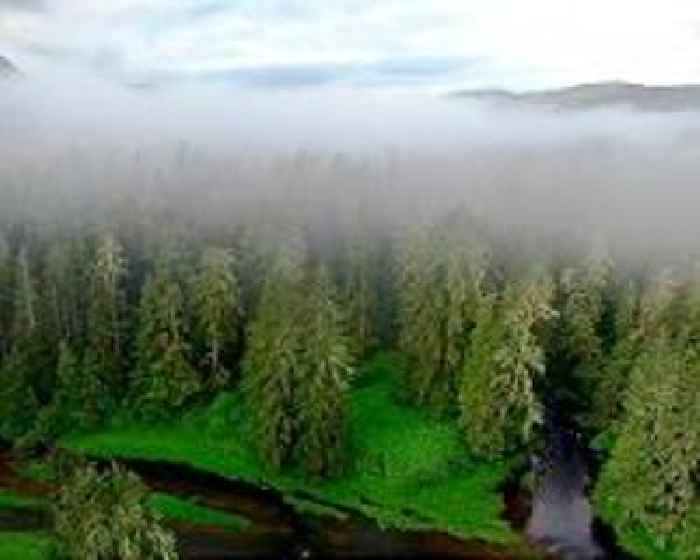
Rising sea levels driven by climate change threaten coastal forests with unpredictable consequences, highlighting the need for advanced tools to manage these vulnerable ecosystems and allocate conservation efforts effectively. In a recent study by North Carolina State University and the U.S. Geological Survey (USGS), researchers explored how satellite imagery could help conservationists id
Satellite imagery offers a way to shield coastal forests from climate impacts
Terra Daily
0 shares
1 views


