New geointelligence tool streamlines land mapping and resource planning

Los Angeles CA (SPX) Apr 01, 2025
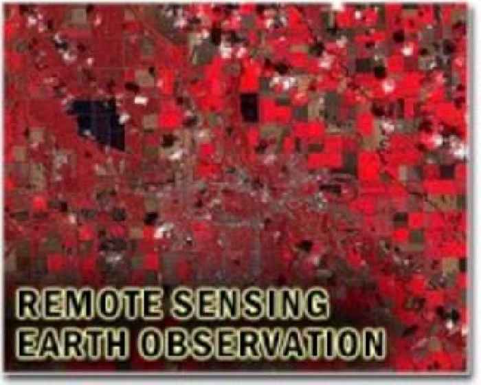
Researchers at the Tupa campus of Sao Paulo State University (UNESP) have introduced a new geospatial intelligence method designed to improve the speed and precision of land use monitoring and territorial planning. The approach successfully delineates key landscape features, such as Amazon rainforest, Cerrado vegetation, pastures, and areas of intensive agriculture with double-cropping systems.