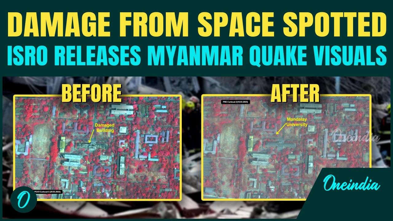
ISRO’s Cartosat-3 satellite has captured detailed images of the massive damage caused by the recent earthquake in Myanmar.
These high-resolution visuals byISRO Cartosat-3 reveal the destruction of historic landmarks, infrastructure, and residential areas, offering a unique view of the disaster from space.
Watch now to see how the earthquake impacted Myanmar through ISRO Cartosat-3 images.
#ISRO #Cartosat3 #SatelliteImages #MyanmarEarthquake #SpaceImaging #EarthquakeDamage#DisasterRelief Also Read ISRO's CARTOSAT-3 Images Show Damages Caused By Earthquake In Myanmar :: https://www.oneindia.com/india/isros-cartosat-3-images-show-damages-caused-by-earthquake-in-myanmar-4110837.html?ref=DMDesc Assam To Become First Indian State To Own Satellite, In Talks With ISRO :: https://www.oneindia.com/india/assam-to-become-first-indian-state-to-own-satellite-in-talks-with-isro-4093267.html?ref=DMDesc PM Modi Lauds ISRO In Today's Edition Of Mann Ki Baat :: https://www.oneindia.com/india/pm-modi-lauds-isro-in-todays-edition-of-mann-ki-baat-4078429.html?ref=DMDesc ~ED.194~HT.408~
